Mapping the Human Environment.
Not every environment can be captured from a vehicle or the air.
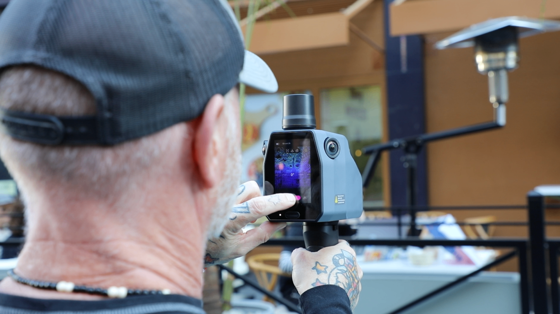
Our pedestrian and indoor mapping systems capture the spaces where people live, work, shop, travel, and interact. Using portable LiDAR and imaging platforms, we create high-detail digital representations of complex indoor and pedestrian environments with survey-grade accuracy.
Designed for robots that operate where people do.
Our pedestrian and indoor data supports:
- Humanoid Robots
- Autonomous Mobile Robots (AMRs)
- Warehouse Automation
- Digital Twins
- Indoor Navigation
- AI Training & Simulation
- Facility & Campus Mapping
Our portable mapping platforms are designed for environments that vehicle-based systems can't reach, including:
- Campuses
- Airports & Transit Stations
- Shopping Centers
- Hospitals
- Warehouses & Factories
- Public Spaces
- Commercial Buildings
From a single facility to enterprise-scale portfolios, we deliver consistent, high-quality datasets for Physical AI.
One unified digital representation of the physical world.
Pedestrian and indoor data integrates seamlessly with our street-level and aerial datasets, creating a unified digital representation of the physical world.
Together, they provide robots with the spatial context needed to navigate continuously between outdoor and indoor environments.
Whether captured as a standalone project or as part of a larger digital twin initiative, our pedestrian and indoor datasets are delivered in the formats your robotics, AI, and GIS workflows require.
High-detail capture. Human-scale intelligence. Built for Physical AI.